Docofossor 0/2
Docofossor
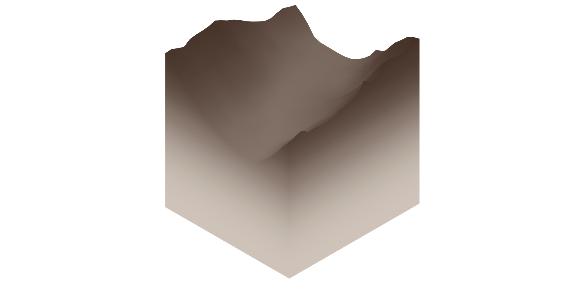
Docofossor is a terrain modeling plugin for Rhino + Grasshopper. It enables easy editing of earthwork operations for landscape architecture and civil engineering.
What can Docofossor do?

Docofossor is a free Grasshopper plugin that enables designers to computationally reshape Digital Terrain Models through point, path, area, or surface-based operations. Using 2.5D distance functions, it provides a comprehensive toolkit for cut and fill modeling without the need for complex boolean operations. It supports a complete landscape modelling workflow, guided by seven collections of components within the Docofossor toolbar.
Originally developed for robotic excavation planning, Docofossor addresses the growing need for efficient and dynamic terrain manipulation tools in response to contemporary landscape challenges like sea level rise, floods, circular construction and civil infrastructure demands.

Component overview
I/O Components
The I/O category handles data import and export operations, enabling users to load terrain data from various sources like ASC and XYZ files, and export modified terrain models back to these formats or bake them into Rhino geometry.
Grid Components
Grid components manage the fundamental terrain mesh operations, working with Docofossor’s 2.5D distance functions to process and manipulate the regular quad grid structure that forms the basis of all terrain operations.
Relative Operations
These components perform terrain modifications relative to the existing ground surface. This includes tools like “Fill on Path” that creates relative fill operations along curve paths, allowing for additive earthwork operations that build upon the current terrain elevation.
Absolute Operations
Absolute operations set terrain to specific elevation values regardless of existing ground conditions, enabling precise control over final terrain geometry for applications requiring exact elevations or cuts to predetermined levels.
Generative Components
The generative category provides procedural tools for creating new terrain features and landforms algorithmically, supporting the development of complex landscape geometries through computational design methods.
Analysis Components
Analysis tools evaluate terrain properties such as slope, aspect, drainage patterns, and other topographic characteristics, providing essential data for informed design decisions and validation of earthwork operations.
Geometry Components
Geometry components handle visualization and geometric operations, converting Docofossor’s specialized terrain data format into standard Grasshopper geometry types for integration with other modeling workflows and visual representation.
Docofossor 1/2
Installationlink copied
Installation is straight forward, just follow the steps below:
- Visit Food4Rhino and search for “Docofossor” in the plugin database. Download the latest version of the plugin to your computer.
- To install Docofossor in Grasshopper, open Rhino and launch Grasshopper.
- In the Grasshopper window, navigate to File > Special Folders > Components
- Copy the downloaded .ghpy file into the Components folder that opens.
- Restart Grasshopper to load the plugin
- Verify Installation Once Grasshopper restarts, you should see the Docofossor components organized in seven categories (I/O, Grid, Operations Relative, Operations Absolute, Generative, Analysis, and Geometry) in the component toolbar, ready for use in your parametric terrain modeling workflows.
If you are having trouble, please review the link below:
Docofossor 2/2
Tutorialslink copied
This page is currently being updated and new turials will soon appear.
Beginner
Intermediate
- Absolute Operations
- Relative Operations
- Grid Operations
- Analysis
Write your feedback.
Write your feedback on "Docofossor"".
If you're providing a specific feedback to a part of the chapter, mention which part (text, image, or video) that you have specific feedback for."Thank your for your feedback.
Your feedback has been submitted successfully and is now awaiting review. We appreciate your input and will ensure it aligns with our guidelines before it’s published.
